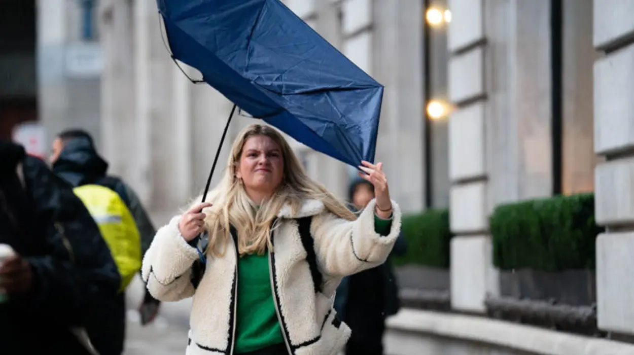
London (Parliament Politics Magazine) – The Met Office warns that Londoners will face disruption during Thursday evening’s rush hour, with gusts of up to 43 mph forecast.
Strong winds of up to 40mph are expected to disrupt London’s evening rush hour on Thursday.
The Met Office predicts wind speeds of up to 43 mph in London between 5 pm and 7 pm, potentially impacting roads and railways.
London and the rest of Britain are under a yellow weather alert from 3 pm Friday until 6 am Sunday, with heavy rain and strong winds forecast.
Thursday will start with strong gusty winds from the west, with clear skies and temperatures reaching 14°C, before heavy showers are expected to return in the afternoon.
Which areas are included in the warnings?
North-west Scotland is under a yellow wind warning, with gusts of 50-60mph expected, and up to 75 mph possible in exposed locations.
Starting at 15:00 GMT on Thursday, a yellow wind warning will affect south-west Scotland, Northern Ireland, Wales, northern England, the Midlands, and East Anglia.
This warning is in effect until 6:00 GMT on Friday, predicting 40-50mph (64-80 km/h) gusts inland, and up to 70mph (113 km/h) in coastal areas, raising the danger of travel disruption, especially ferry services.
From Friday afternoon to Sunday morning, a third yellow warning for rain and heavy wind will cover nearly all of England and Wales.
The UK could see up to 25mm of rain across the region, with higher areas in the west, including parts of Wales hit by Storm Bert two weeks ago.
Snowfall is expected over hills in the northern section of the warning area.
What did the Met Office say?
The Met Office advisory said, “A deep low may cross England and Wales from Friday afternoon, clearing to the east Saturday night.”
He added, “Around 15-25mm of rain may fall quite widely, more particularly across central, northern and western parts of England and Wales, with exposed higher ground in the north and west (particularly parts of Wales, which are at greatest risk of seeing flooding impacts) perhaps locally seeing closer to 50-70mm.”
Amy Bokota, the Meteorologist, stated, “It’s going to be a damp and fairly cool start across the southeast of England (tomorrow) and it will be a fairly miserable rush hour with that wind and rain. There will be a brief interlude of some dry conditions but fairly breezy throughout Thursday. But it won’t be long before heavy showers and further rain move in from the west.”
As reported by My London, Mr Bokota advised people to avoid any inconvenience and stay informed about the weather conditions over the weekend by visiting the Met Office’s YouTube channel.
The Met Office warns residents to secure loose items outside their homes, stating “Check for loose items outside your home and plan how you could secure them. Items include bins, garden furniture, trampolines, tents, sheds and fences.”
Storm naming still pending
BBC reports that the low-pressure system crossing the UK on Friday and Saturday may be named, though it remains uncertain.
The naming of the storm will depend on the severity of its expected impacts.
Darragh is the next name on the joint list created by the UK Met Office, Ireland’s Met Éireann, and the Netherlands’ KNMI. There’s a prediction that another country, such as France or Belgium, could assign the storm a name from their list.
While the storm has not yet given any name.

