
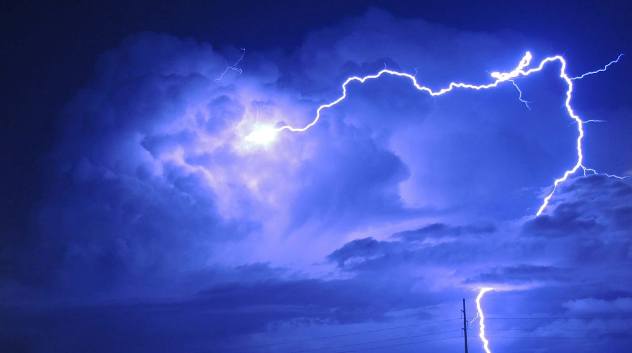
Harrow (Parliament Politics Magazine) – A yellow weather warning has been issued for Harrow and Greater London, with thunderstorms forecast from Friday afternoon through the weekend.
With highs of 28 degrees predicted during peak hours, temperatures are predicted to climb today. A 48-hour thunderstorm risk warning has been issued as a result of this.
According to the Met Office, the warning will be in force starting at 3 p.m. on Friday, June 13, and will continue until 6 a.m. on Saturday.
There may be some disruptions around the region due to heavy rain, thunder, and lightning, particularly on Friday night and into Saturday. People who are going out or traveling during that period are being warned to exercise additional caution.
The Met Office uses the warning, which was issued Wednesday morning, as part of its strategy to notify the public when severe weather is expected to affect the area.
As usual, it’s important to monitor developments and be ready for any delays or localized flooding.
How severe are the expected thunderstorms and flood risks?
The National Weather Service’s hazard scale states that isolated severe thunderstorms have a low risk of tornadoes (Slight to Enhanced risk levels), can produce wind gusts of 40–60 mph, and can produce hail up to 1-2 inches.
This moderate severity level includes the Met Office’s warning of potential lightning, hail, strong gusts, and heavy rains.
Flash flooding can result from thunderstorms that produce heavy, intense rainfall, particularly in cities like Harrow where paved surfaces exacerbate runoff.
Even in typically arid regions, flooding can happen quickly, resulting in dangerously swift water flow and localized flooding of homes and roadways. Storms that persist or cause significant precipitation upstream of nearby waterways increase the risk.