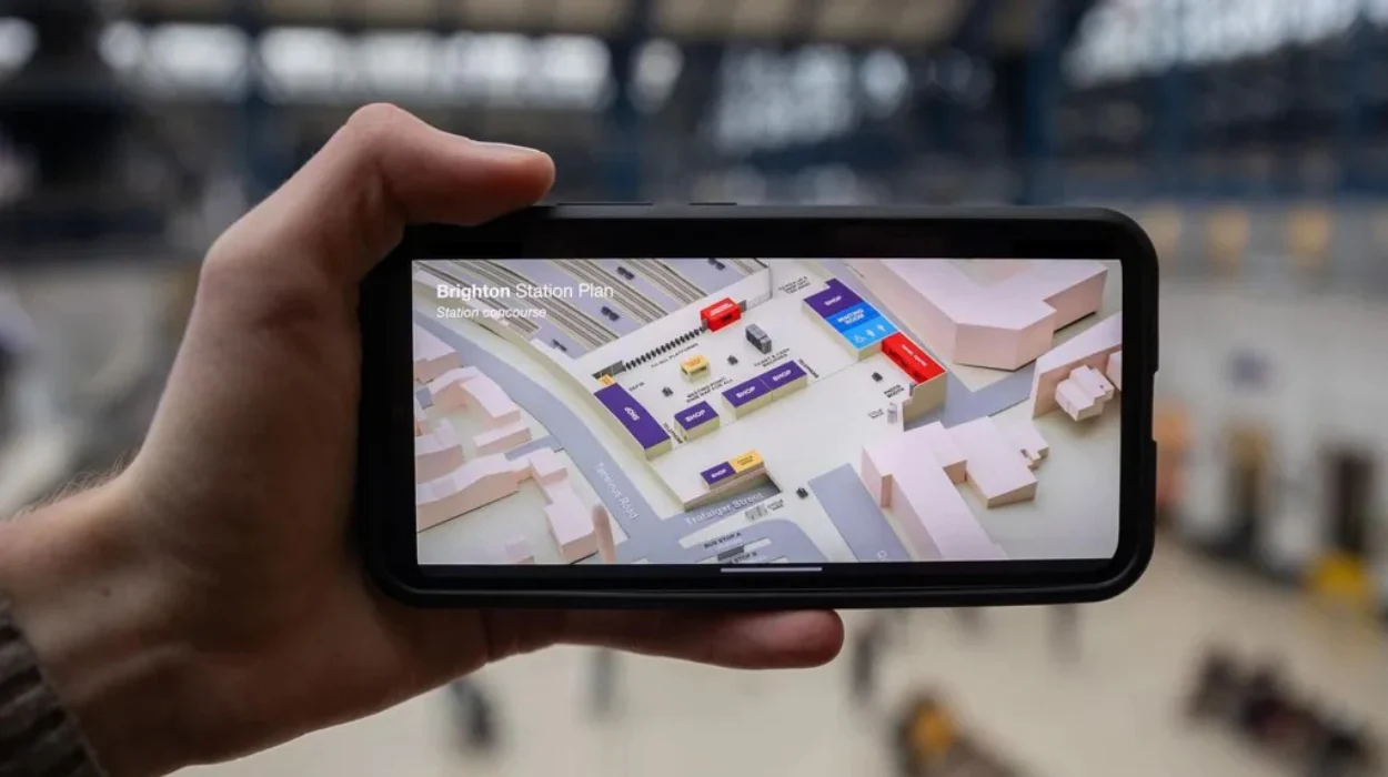
London (Parliament Politics Magazine) – A train company has introduced 3D maps to enable disabled passengers to travel with “more independence”.
Govia Thameslink Railway (GTR), managing Thameslink, Great Northern, Southern, and Gatwick Express, announced that maps will help passengers build confidence in navigating key stations on its network.
With these new 3D maps, passengers will have the ability to plan their routes through GTR stations directly from their mobile phones and computers.
In partnership with Sight Loss Councils, GTR will offer free access to the Aira Explorer guidance app across its 11-country network, nearly the size of Belgium.
Currently being tested at 10 stations, maps designed to assist disabled passengers in locating staircases, lifts, and ticket gates using aerial maps. GTR stated that if the trial is successful the scheme could be expanded to include more stations.
The 10 stations which are in the trial process are, “Brighton, City Thameslink, Denmark Hill, East Croydon, Elephant & Castle, Finsbury Park, Gatwick Airport, London Blackfriars, Luton Airport Parkway and Peckham Rye”.
GTR Accessibility Lead Carl Martin stated, “We want everyone to be able to use our services, regardless of their disability or need for assistance”.
“This app helps blind and partially sighted people travel independently, whether that’s to locate a member of staff for assistance when they first arrive at the station or to simply find the ticket office or grab a coffee”.
He added, “Having successfully trialled this, we’re now making it freely available to use at all our managed stations. We’re really grateful to Sight Loss Councils and Thomas Pocklington Trust for helping us introduce this”.
According to GTR, bird’s eye view maps are available for every station they manage, however, feedback suggested improvements were needed due to issues with scale and quick navigation.
The new diagram shows colour-coded accessible routes, steps, and displays the different levels of each station.
Passengers can access the maps through National Rail Enquiries and directly on the websites of all GTR train brands.
Carl Martin, GTR’s accessibility lead, said “We’re really pleased to introduce these new maps as part of our commitment to create a more inclusive and accessible railway. Whether it’s finding essential facilities or navigating between platforms, our goal is to ensure everyone can travel independently and with confidence, regardless of their access needs.”
He added, “We understand that for some of our customers, visiting a new station can feel overwhelming. Together with other helpful guides on the assisted travel pages of our websites, they’ll help people plan a smooth and stress-free journey”.
Dave Smith, Sight Loss Council Engagement Manager for Thomas Pocklington Trust, said “It’s great that GTR have made the decision to roll out Aira Explorer at all their stations. It is important that everyone has access to travel on the train network and this includes blind and partially sighted people”.
“Having Aira Explorer available could be enough to give someone the confidence to take the train knowing that they can arrive at a station and use Aira to support them through the station and to a member of staff”.
“Furthermore, the app can be used to navigate someone to a coffee or retail shop, the toilet or out to the bus stop for an onward journey thus making the whole experience more equal to sighted passengers”.


